I am an aspiring Geospatial Data Scientist with a strong foundation in remote sensing, machine learning, and data analysis. My work is driven by a passion for sustainable development, particularly in agricultural systems and environmental management.
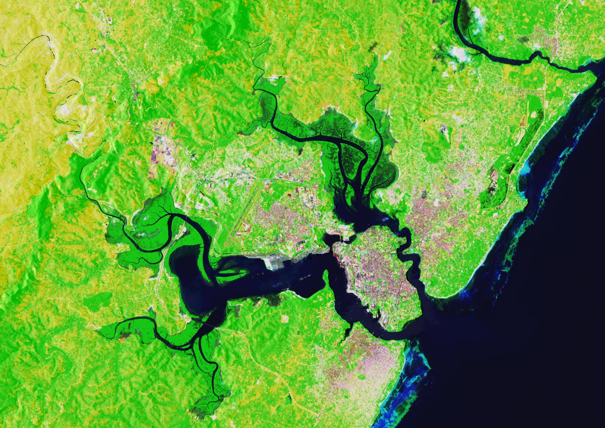
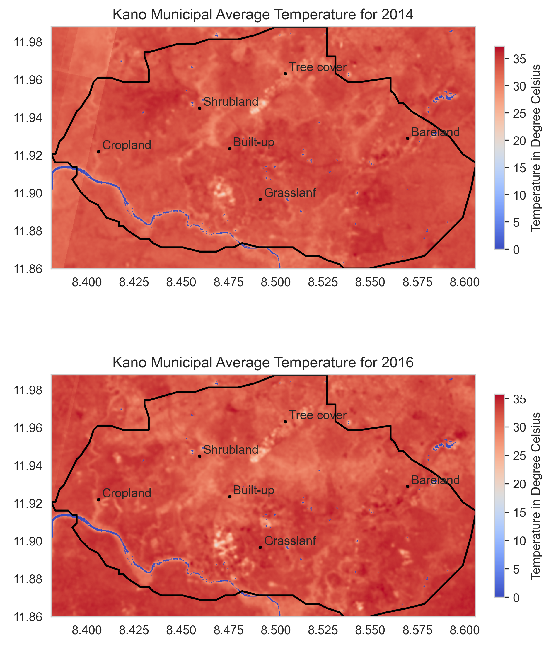
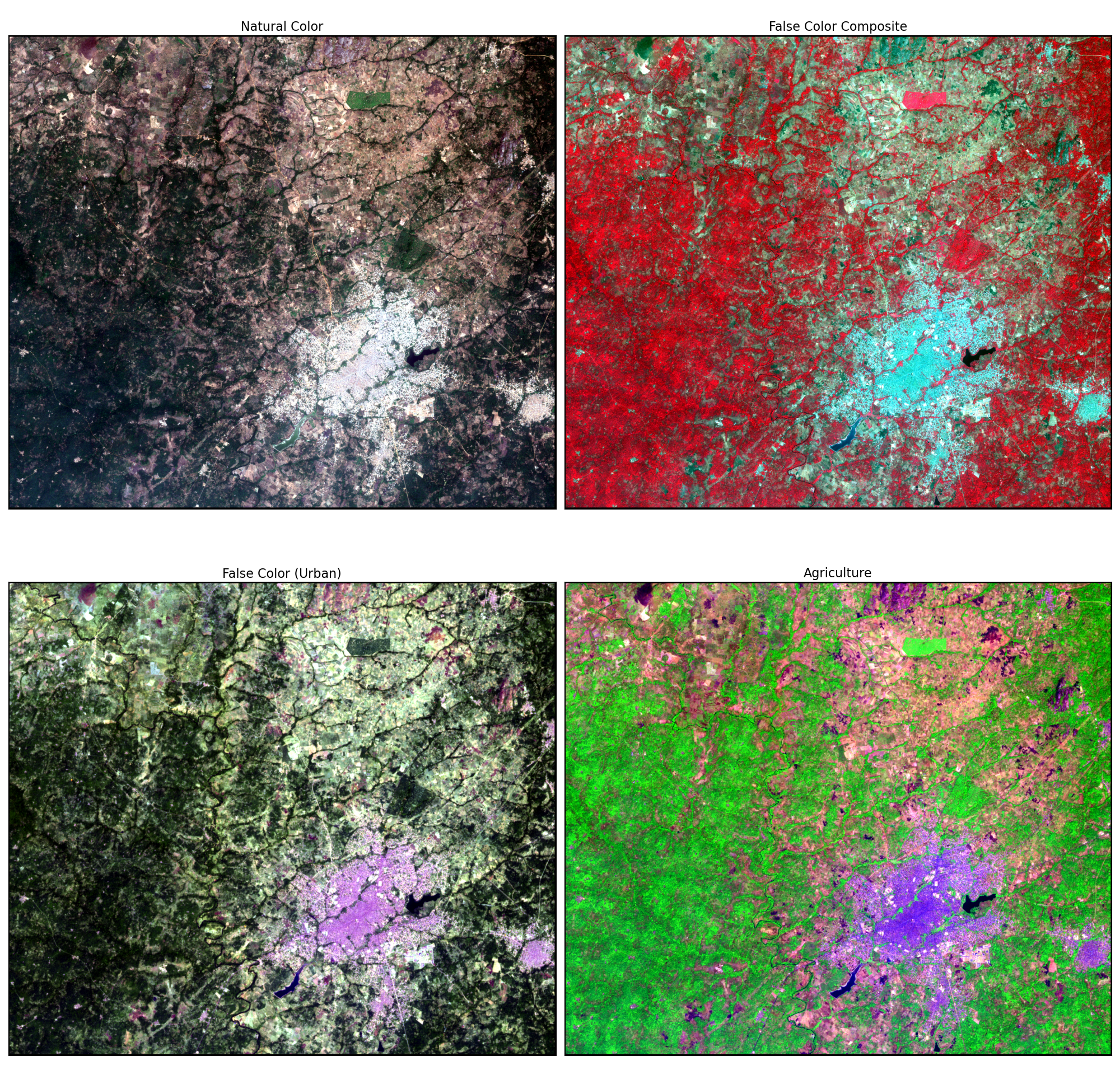
I specialize in analyzing land use and land cover changes using satellite imagery, applying geospatial AI techniques to extract meaningful insights that support climate resilience and resource optimization.
In addition to my academic projects, I am preparing for roles in geospatial AI and machine learning engineering, where I aim to leverage model generalization techniques, synthetic data augmentation, and transfer learning for real-world applications.
I am passionate about transforming raw spatial data into actionable solutions for environmental sustainability, agriculture, and energy, and I'm constantly seeking opportunities to learn, build, and contribute to impactful geospatial projects.
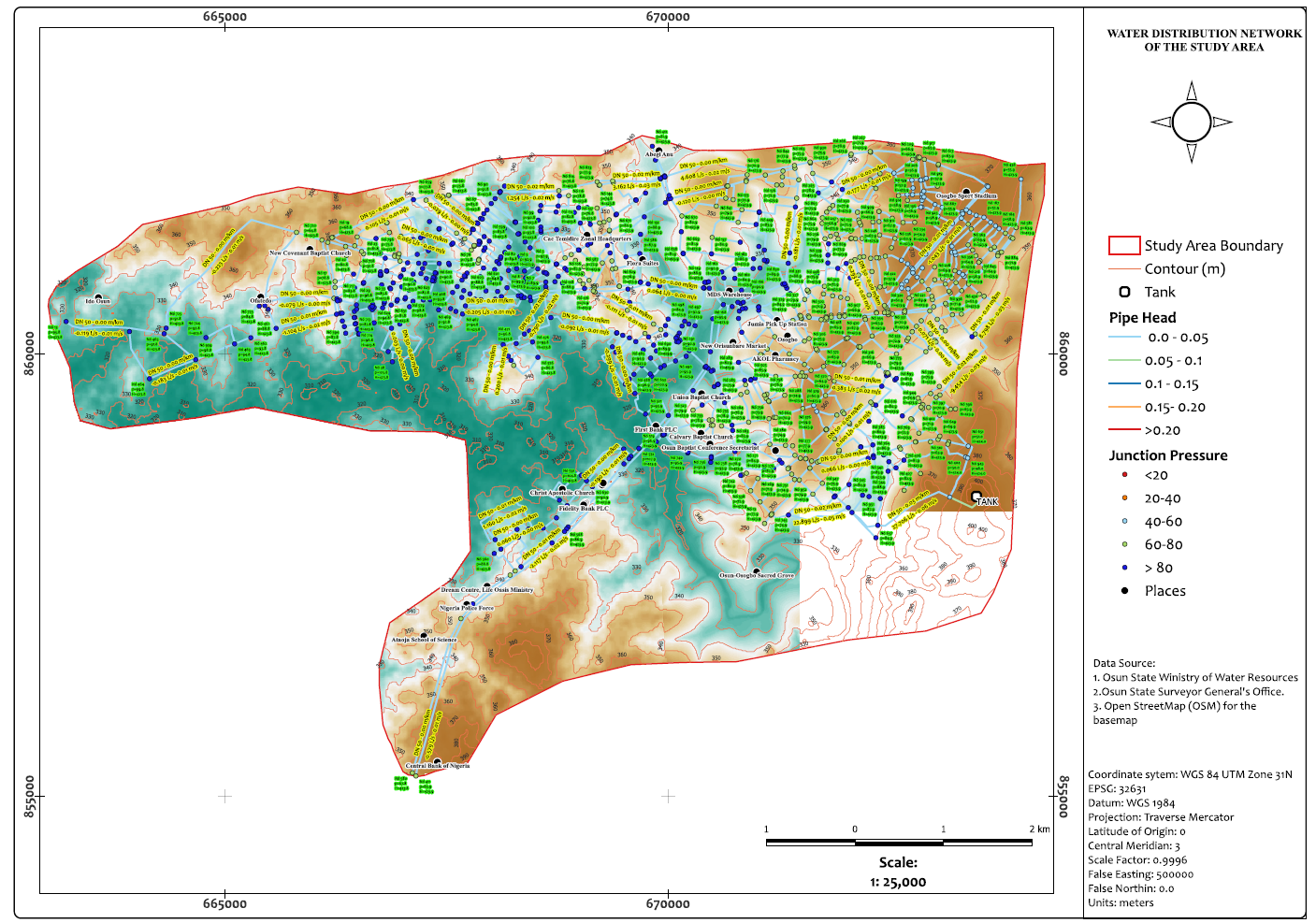
I'm skilled in Python, SQL, Remote Sensing and GIS software. Here are some tools I use:
